Hastings Airport (HGS)

Informations sur l'aéroport - Hastings Airport, Sierra Leone

Description Valeur
IATA
(Code d'aéroport international Air Transport Association)
HGS
Type Petit aéroport
Code de l'aéroport le plus proche -
Code d'aéroport GPS GFHA
Longitude 8.39713001251221
Latitude -13.1290998458862

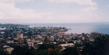
Villes à proximité de Hastings Airport, Sierra Leone

Ville, pays Distance (km)
Freetown 14.19 km

Photos près de Hastings Airport, Sierra Leone

River Number 2, Bungalows Chimpanzee Park On the r House for sale? Sunset in Tokeh
 
Fishing Boat Entry of capital Panorama Freetown port
 
Downtown Market Freetown, Sierra Leone Freetown 1970 UMC Eye Clinic Guest quarters-Kissy Sierra Leone Freetown1
 
Freetown - Waterloo Highway More Potholed Roads - Sierra Leone Calaba (Kalba Ton as locals call it) Town along (new road) Bai Bureh Road View of the hills around Freetown seen from Waterloo. AHS - Waterloo Hospital
 

Photos de Hastings Airport