RAF Northolt (NHT)
Informations sur l'aéroport - RAF Northolt, Royaume-Uni
|
Villes à proximité de RAF Northolt, Royaume-Uni
| Ville, pays | Distance (km) |
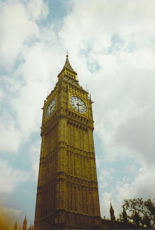
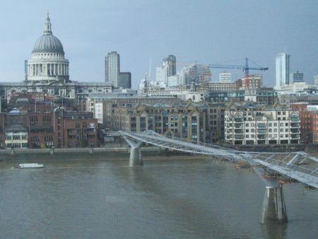
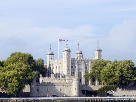
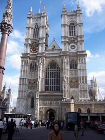
| Londres | 21.21 km |
| Milton Keynes | 57.63 km |
| Tunbridge Wells | 66.54 km |
| Brighton | 83.05 km |
| Colchester | 98.49 km |