RFC All Hallows / RAF All Hallows
Informations sur l'aéroport - RFC All Hallows / RAF All Hallows, Royaume-Uni
|
Villes à proximité de RFC All Hallows / RAF All Hallows, Royaume-Uni
| Ville, pays | Distance (km) |
| Tunbridge Wells | 45.28 km |
| Colchester | 51.08 km |
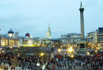
| Londres | 52.73 km |
| Brighton | 89.27 km |